
4 Big Climbs for Cairns Views
If you want BIG views, then you often need to put the effort in and do some BIG walks.
Cairns is no exception and around the city there are some excellent walks that will get you up high enough for some really superb Cairns views (and beyond). If you haven’t got the time (or the energy) check out my other blog 4 Quick Climbs around Cairns for some Cool Views. If you’re up for the challenge however, read on……
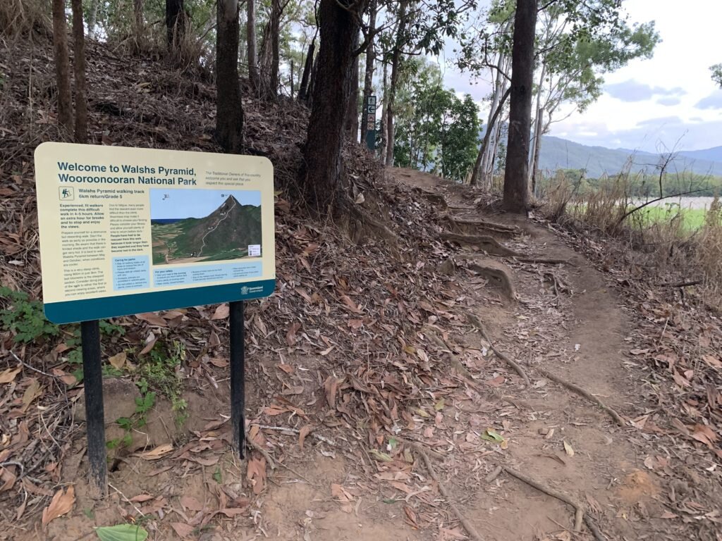
Walsh’s Pyramid

Walsh’s Pyramid can be spotted south of Cairns
It’s an iconic hill/mountain on the landscape south of Cairns and to walk it is some sort of epicness. It’s best to start out as early as possible to beat the heat of the day. The Walshs Pyramid track is on the northern side of the mountain so it's sheltered from the prevailing wind and there’s not much breeze as you ascend.

If you're early enough you can catch a sunrise
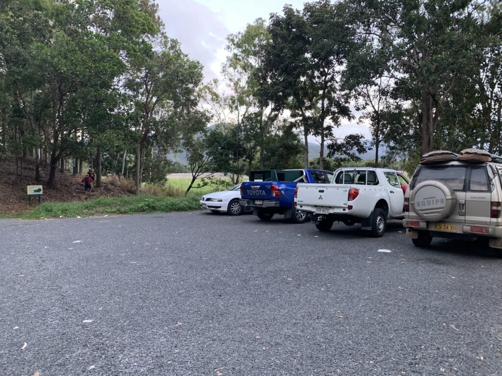
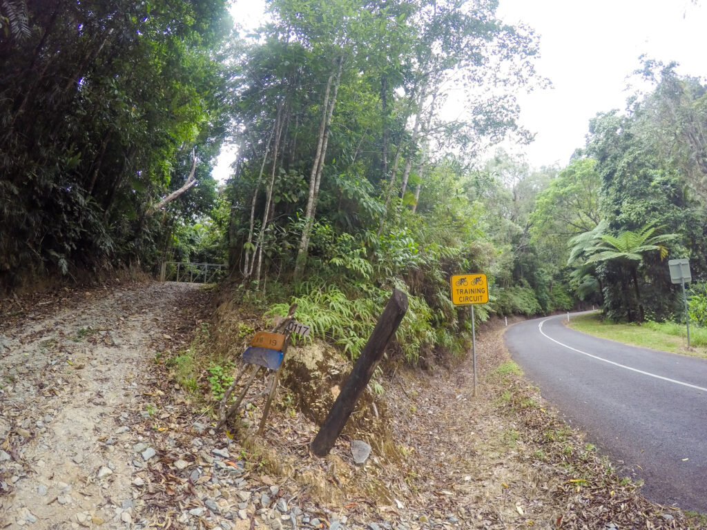
To get there, head down to Gordonvale and take the first right after the bridge that lays south of Gordonvale. Next follow the sealed road to a car park on your left. The track is well trodden and marked and if it becomes confusing there are orange arrows on the trees to keep you on course.

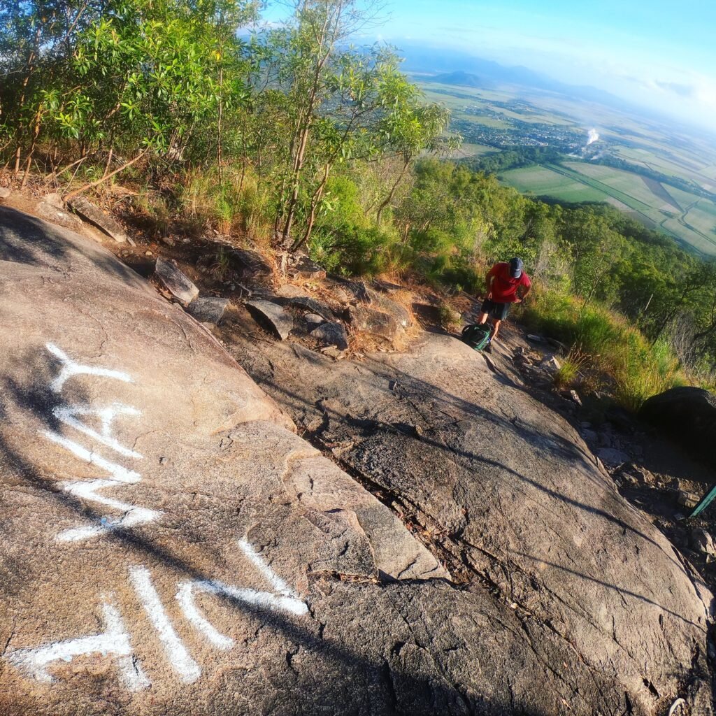
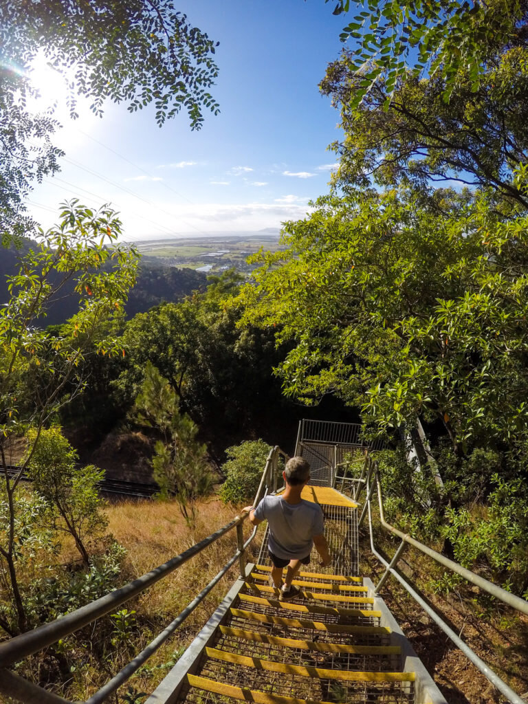
The track is steep & gruelling
Thankfully the kilometres you walk are well marked, as well as the half-way point which comes as a relief. We found the bit between 2 to 3kms the hardest as the ascent is steep and there’s some boulder scrambling to get through. After you reach the 3km marker it’s not too far after that that you reach the top. We made it in 1¾ hours but allow for 2-3 hours for your ascent if you are of medium health and not doing much fitness activity.

We made it!
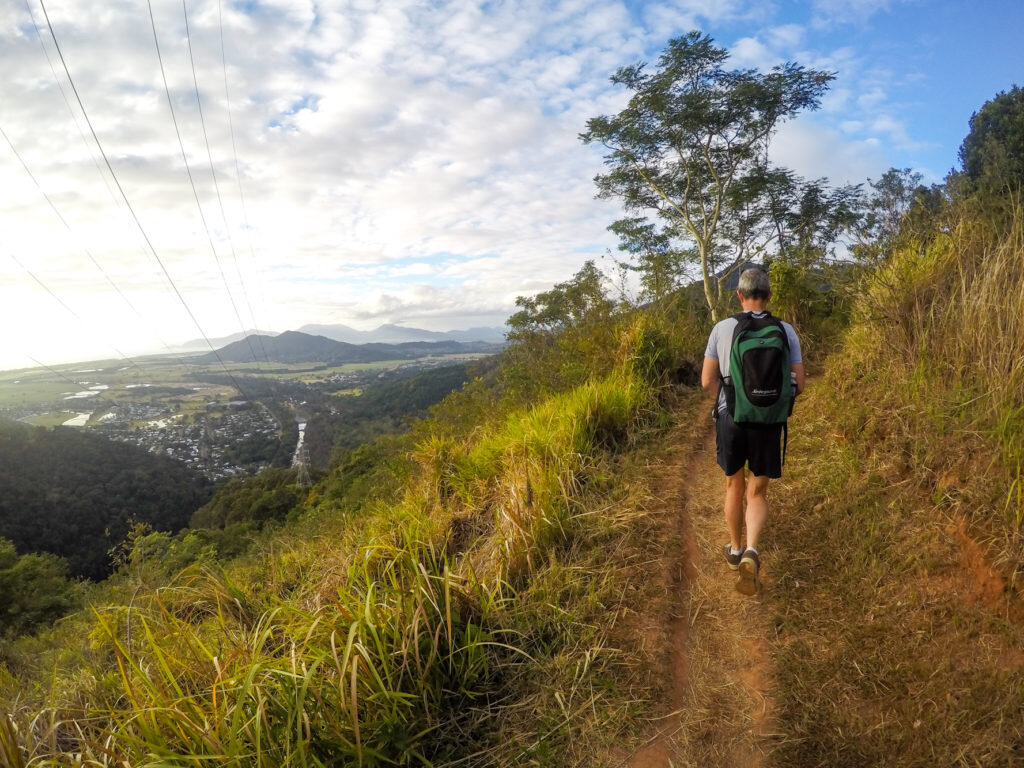
The top of Walsh’s Pyramid allows for 360 views. Follow the well-worn path to the other side where there should be a breeze, and don't be surprised to find cloud cover at the top, or that you're above the clouds.

Cairns Views

Out to the East over the cane fields

South towards Bartle Frere
Allow for the same amount of time to get down Walsh’s Pyramid as the descent is steep and full of rocks and tree roots. I’m still in awe of the people who run this course for the Great Pyramid Race – the record is 1½ hours to and from Gordonvale – we started at the bottom and it took us 4 hours in total taking into account our rest (and recovery) at the top of Walsh’s Pyramid!!!
Distance: 922m straight up from sea level (over 3 km).
Time: 4-5 hours (fit walkers) to complete.
Difficulty: Steep and bumpy terrain with lots of scrambling.
2. Glacier Rock

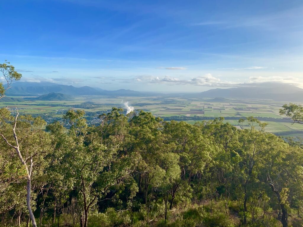
If you stand in Cairns and look towards the hills chances are you’ll find Glacier Rock hard to miss. From most places in Cairns you can spot the large slab of rock-face that sits like a sentinel at the entrance of Barron Gorge, stark against all that greenery. So you can imagine the view when you stand at the top of Glacier Rock and lookdown on Cairns and out towards the Great Barrier Reef.
BIG views from the top of Glacier Rock
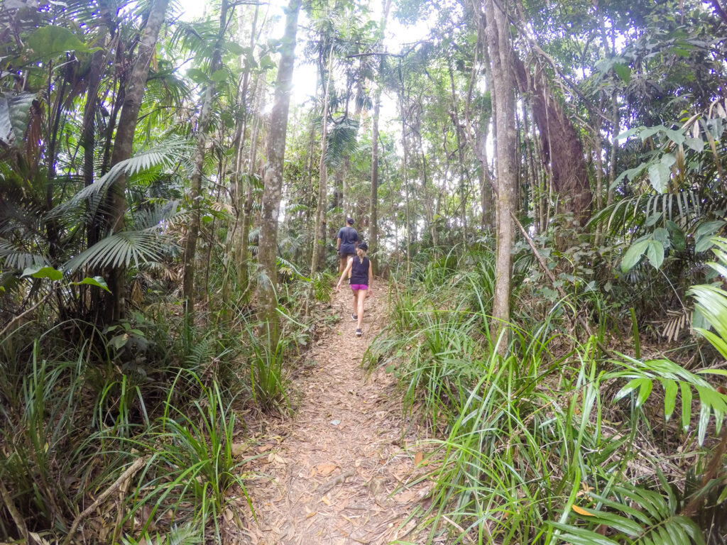
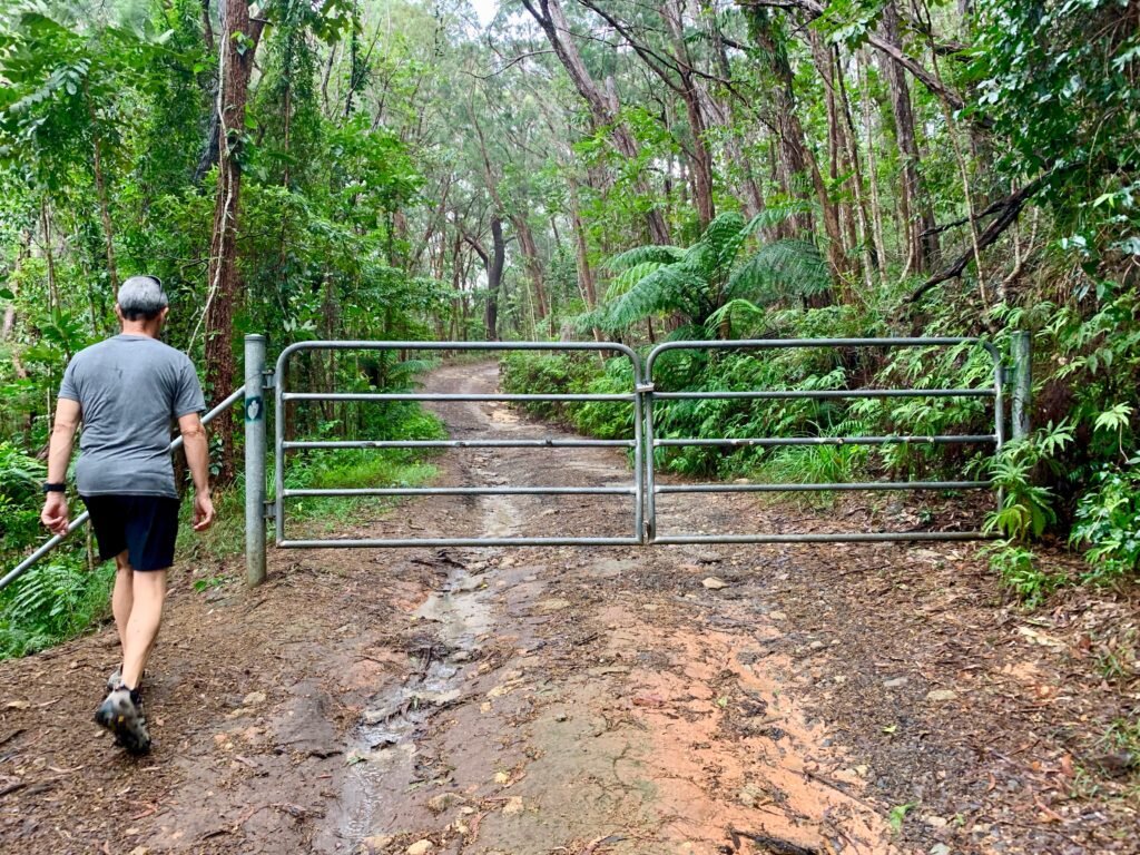
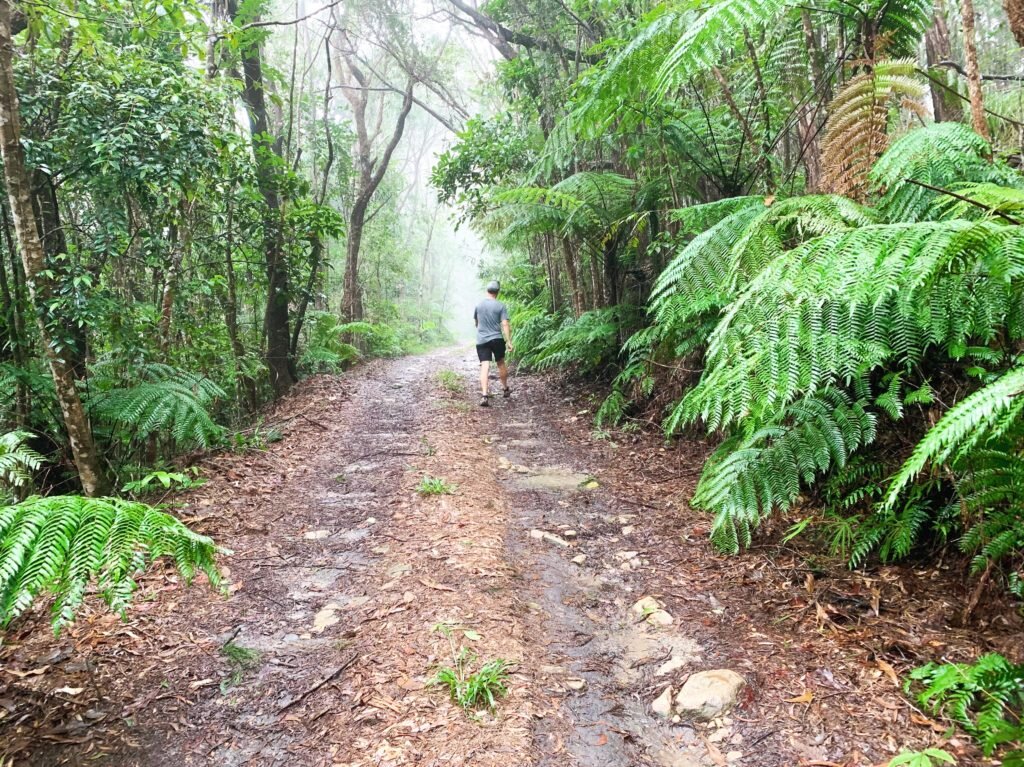
The track to Glacier Rock, although a steady climb upwards (and quite steep in parts) is actually quite easy underfoot, and surprisingly fun for kids. The path is easy to follow and offers plenty of Cairns views to keep everyone’s mind off the fact that you are clearly climbing up, up and more up.
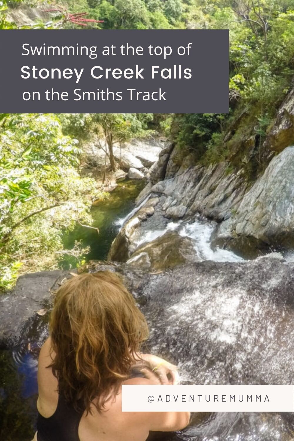
To get there you start atRainforest Estate (on Stoney Creek Road, Kamerunga), a small suburb tucked awayat the foot of the Barron Gorge (opposite Lake Placid), and take the StoneyCreek entrance – this way you have the option for a dip in the refreshingwaters of Stoney Creek upon your return. You can also start the walk from theDouglas Track Road, which is also in Rainforest Estate, but you’ll miss thescenery of Stoney Creek and won’t have the option for quick dip if you parkhere.
Just after you cross thecauseway, or footbridge at the start of Stoney Creek you’ll find a sign forDouglas Track and a path leading off to your right. Follow this track as itleads you away from the creek and meanders gradually upwards through therainforest. It’s worth knowing that you are now walking in the footsteps ofgold digging pioneers who clambered up this route on their way to possibleriches (or ruins).
The walk uphill through the rainforest will eventually lead you to a massive Mango tree in a clearing. This is the site of an old railway workers campsite and was used as a base during the building of the Kuranda Railway track. There are some boulders to scramble up here for a nice view BUT be wary of the drop on the other side as it’s a tad gnarly. This is the first of the good views down the Barron Valley and worth a look.
Just a little further on is a footbridge that will take you over the Railway track and up the steep embankment to the other side. Once you’ve crossed the bridge and done the steep set of steps you’ll notice more views. You’ll then slowly zigzag up the side of an open hillside to the top where you’ll find a powerline service track.
Continue past the powerline towers to where the Douglas Track meets the McDonalds track (look for the sign). Turn left here to follow the Douglas Track back into the rainforest. It’s a 20-minute steep climb through the rainforest to reach the last sign that will take you to the top of Glacier rock.
Distance: 6.9km one way
Time: 3 hours return (not rushing).
Difficulty: Moderate to difficult.
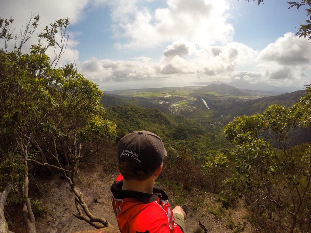
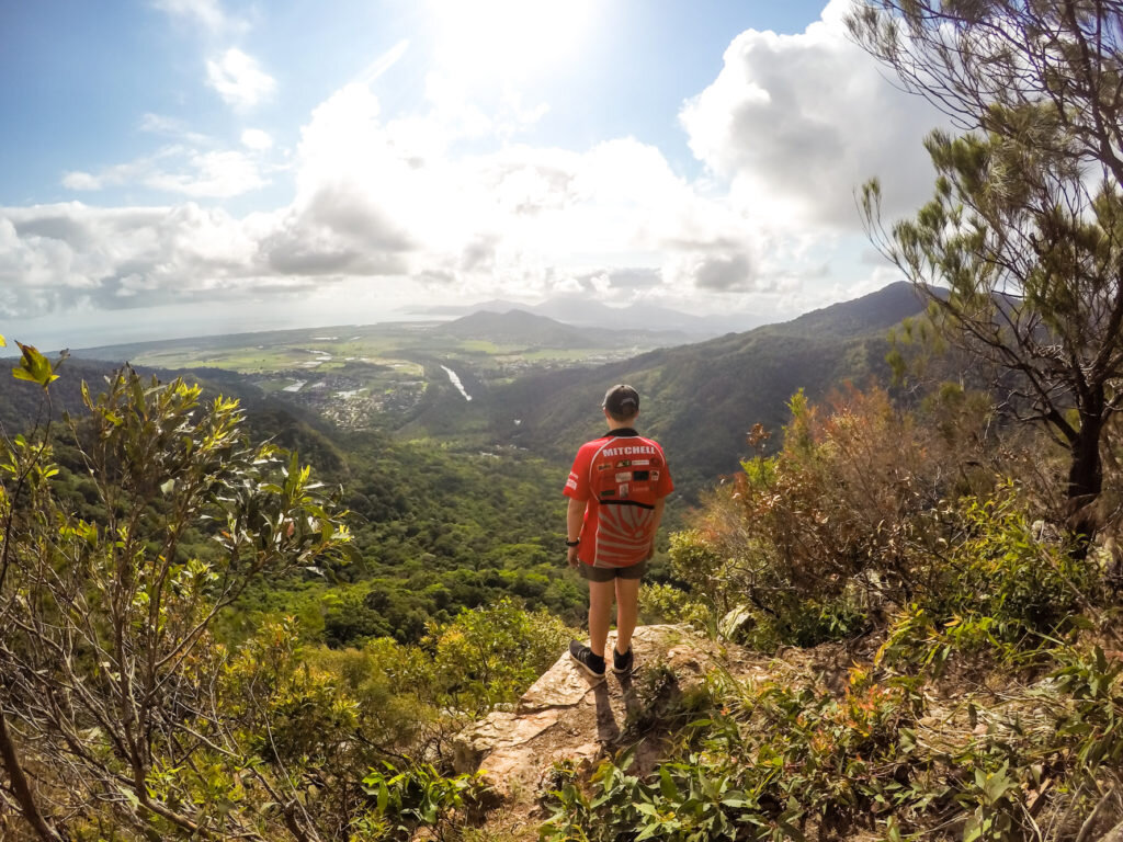
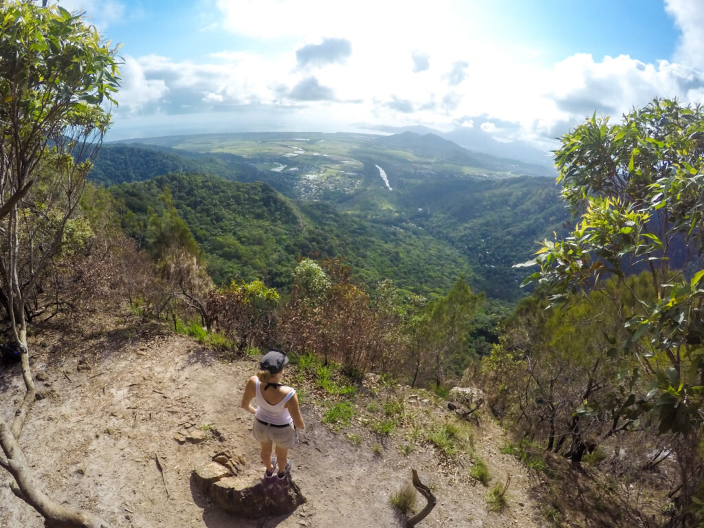
3. White Rock

Great Cairns views on top of the White Rock
If you look up to the Western Mountains in the suburb of White Rock and Mt Sheridan there’s a very noticeable white rock on the edge of the rainforest. One of the highlights of hiking to this ‘white rock’ is that you can perch yourself upon it and gaze out across the southern suburbs of Cairns and the cane fields beyond.
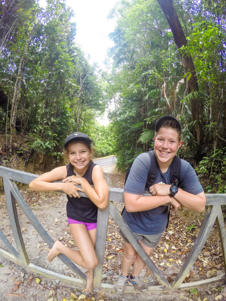
Although most of the climbing is done by car (you drive up the Lake Morris Road to the start of the walk) this relatively ‘easy’ walk along the ridge, through tropical rainforest to the lookout was a little harder than I anticipated.

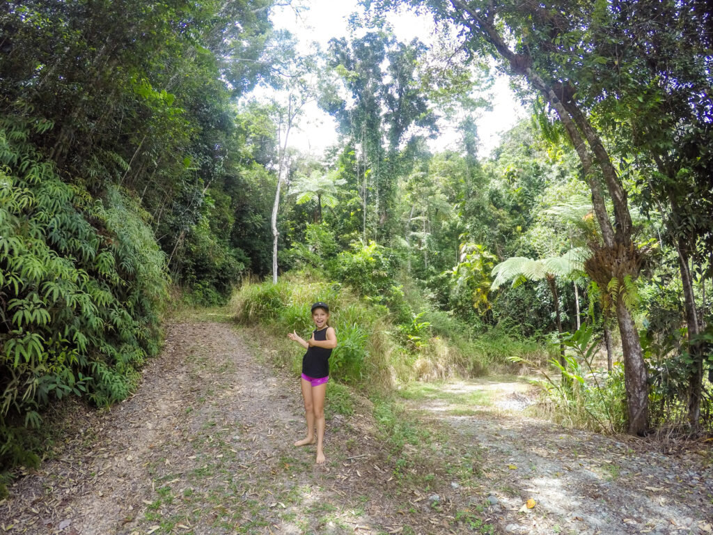
The track along the ridgeline is up and down all the way, and to get to the lookout you need to partake in a mad scramble down the mountain to a scary rock face (the white rock). But the views are spectacular, and the sense of achievement written all over my kids face when we finally sat down and took it all in was worth it.
To get there start at Lake Morris Road and set the car odometer then drive 10km to an inconspicuous dirt road on the left, where a locked gate restricts vehicle access. You’ll find a parking spot on the grassy verge on the hairpin bend 30m before the entrance. The5.4km return walk through State Forest starts at the gate.
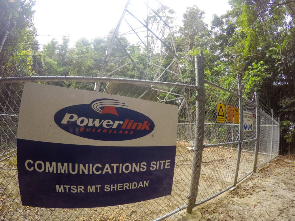
Initially the walk follows a service road past two large pylons where there are views over Cairns and Trinity Inlet, and then it winds up a steep incline to a telecommunications tower on Mt Sheridan peak, 605m above sea level. Here you’ll find a narrow foot track that skirts around the tower’s security fence to the start of the walking trail. After that the trail is flagged at irregular intervals with coloured tape and orange arrows nailed to trees.

Panoramic views of the southern suburbs of Cairns
Distance: 5.4km return walk
Time: 1½ hours return.
Difficulty: Bushwalking through rainforest along a well-trodden trail with some scrambling to get to the white rock.
4. Mt Yarrabah

Great views even on a wet day from Mt Yarrabah
Across the bay of Cairns (Trinity Inlet) lies Mt Yarrabah….you can see the communication towers if you look to the mountains to the east. The main walk to the top of Mt Yarrabah is along an unsealed roadway to a communication tower. There is no bush bashing to do on this walk but there are some rather steep sections of a dirt roadway.
Yarrabah is an aboriginal community that lies to the east of Cairns and the walk starts at a road on your right (off Pine Creek Yarrabah Road) just before you get to the community of Yarrabah. You can park the car just in from the road’s entrance and start your walk from there. It’s about a 20-minute walk just to the gate and then an hour from there to the top. Even though you’re following a service track the going is tough in parts.
Thankfully the road levels out occasionally so you’re not always going up a steep incline. Makes you wonder what it’s like to drive it!! Up top there are heaps of towers with heaps of warning signs but you can get views across to Yarrabah in one direction and across to Cairns in the other.

Views across Trinity Inlet to Cairns
To see Cairns from Mt Yarrabah you just have to skirt around a locked gate to get the views. On a clear day, the views form the top are spectacular, taking in the Mulgrave Valley, the Cairns Inlet, the coastlines north and south, as well as Fitzroy Island.

Coming back down it’s hell of a lot easier (obviously) but it’s a bit like Behana Gorge where you keep saying to yourself….are we there yet!?!?
Distance: 6 km walk – elevation600m.
Time: 3-4 hours return.
Difficulty: Steep terrain along an unsealed road.
Good Things to Know:
The best time to do any climbing in Cairns is during the winter months (April – September)
During the wet season it is preferable to do any of the above activities early in the morning or early evening – ie. the cooler parts of the day.
Water and sensible walking shoes are recommended for any climb in the tropics.
Have you enjoyed any of the above climbs? Can you suggest any other BIG climbs around the Cairns region for a cool view?
If you’re keen to do some smaller (and quicker) climbs with Cairns views then check out my 4 Quick climbs around Cairns for some Cool Views post.
Hi I’m Kate!
Mumma of 2 young 'uns. Adventurer at Heart. Lover of Tropical Queensland and avoider of Housework and Craft projects - give me the Great Outdoors any day! Come join my family and I as we Explore TNQ.
Latest Blog

Popular Posts


Grab a copy!

Follow us
@adventuremumma

Search the blog
Archive
- Cairns 1
- Cairns Attractions 12
- Cairns Dining 10
- Cairns Esplanade 1
- Family Friendly Accommodation 9
- Activities in Cairns 21
- Beaches & Islands 14
- Cairns Events 7
- Clean Up Australia 1
- Cairns Family Tours 26
- Explore TNQ 101
- Things to do in Cairns 43
- Watersports 26
- Free things to do 9
- Hikes & Walking Trails 10
- Great Barrier Reef Tours 13
- Hot Air Ballooning 1
- Camping Adventures 17
- Family Road Trip 17
- Outback Australia 11
- Parks & Playgrounds 5
- Things to do in Port Douglas 18
- Cairns Northern Beaches 7
- Port Douglas Activities 10
- Travelling with Family 27
- Nature Play 24
- Aboriginal Experiences 2
- Gift Ideas 6
- Freshwater Swimming Holes 10
- Health & Wellbeing 12
- Rainforest Adventures 19
- Family Tips 19
- In the Media 19
- Things to do in Mission Beach 3
- Waterfalls 10
- Sea Kayaking 1
- Explore Australia 21
- Gear Reviews 5
- Gold Coast Activities 2
- Insider Guide 11
- Port Douglas Reef Tours 4
- Things to do in Melbourne 2
- Outback Tours 1
- Port Douglas Dining 6
- Follow the Sun 4
- Kuranda Train & Skyrail 5
- Daintree / Cape Trib Rainforst 4
- Daintree Activities 2
- Things to do in the Daintree 1
- Travel Photography 4